Living TRAVEL -
TURKEY
|
|
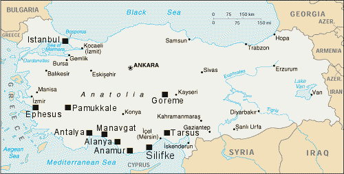
 Looking SE from above the Suleymaniye mosque we see the Bosporus narrow water channel mid-left joining the Black Sea to the Sea of Marmara towards the background of the picture with mainland Turkey in the background |
|
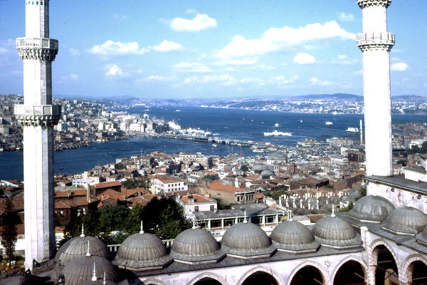
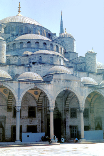
 Sultan Ahmet Mosque (Blue Mosque) built in 17th century - close up below right |
|
 |
 |
|
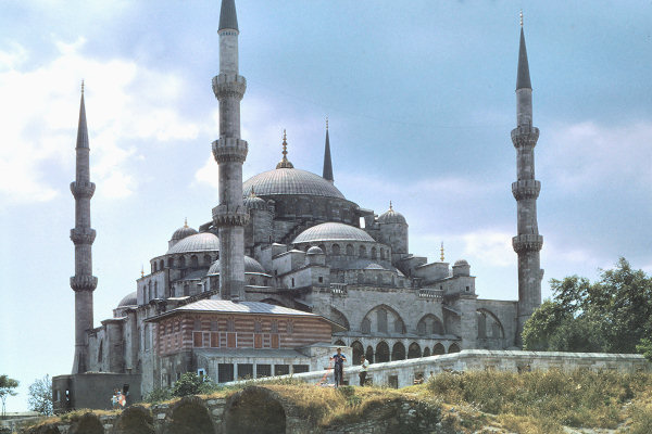
Above Left: looking from the Blue Mosque to the Aya Sofia
mosque which was built in the 5th century. It was one of the largest ever Christian churches converted
to a mosque in the 15th century. |
|
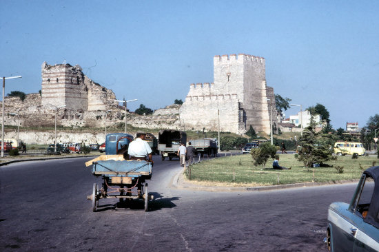 Gateway to Istanbul |
|
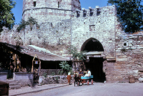 The Edirne Gate |
|
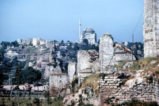 Ruins of the substantial city wall (near the Edirne Gate) built around Istanbul/Byzantium/Constantinople in the 5th century by Emperor Theodosius II |
|
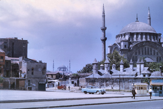 Slums to the left, mosque to the right |
|
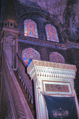 Inside the Blue Mosque |
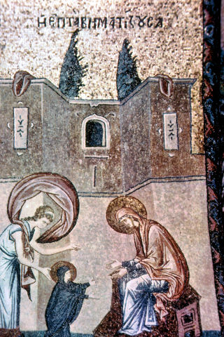 Mosaic |
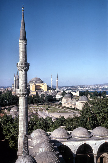
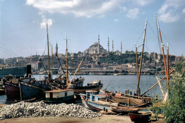 Looking back across the Bosporus to the Suleymaniye Mosque (largest in Istanbul) built 1550 to 1557 by the Sultan Suleyman |
|
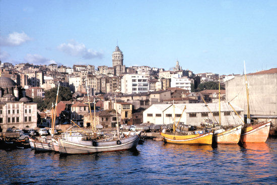 The top of the 60 metre Galata Tower can be seen in the background. It was built in the 14th century by the Genoese occupiers for defence purposes. |
|
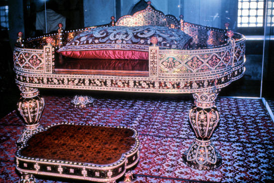 The Pearl Throne in the Topkarpi Museum |
|
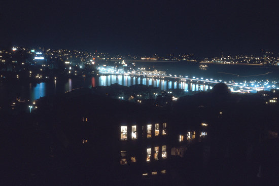 The bridge across the Bosporus at night |
|