|
Living TRAVEL |
|
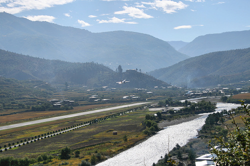
| Paro (site of the country's only international airport) - 65 kms west of Thimphu | |
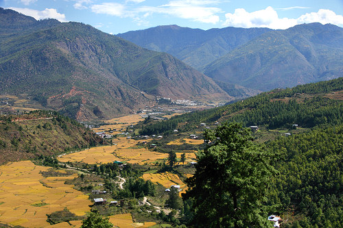
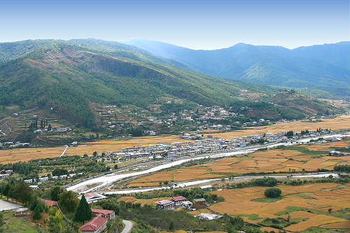 The setting of Paro | |
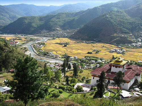 Looking to the left of the first image are rice fields and far left the airport; in the right foreground is the Paro Dzong (see further below) | |
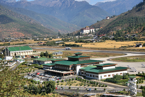 Above and below: a plane taking off from the airport | |
 | |
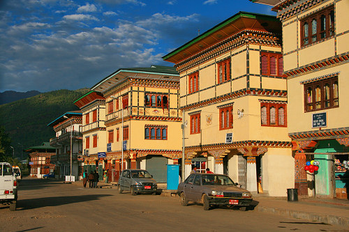
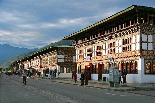 Above and below: the streets of Paro | |
 | |
 | |
 | |
 | |
 |
|
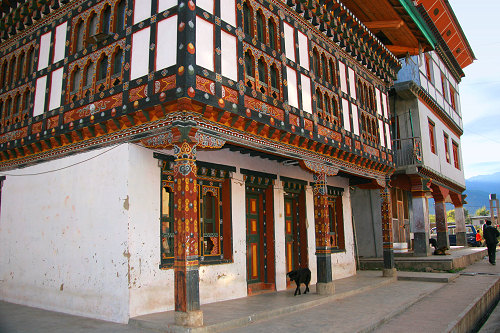
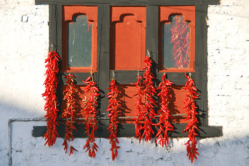
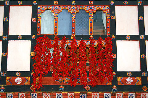
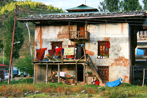 Most houses have decorated windows, but not all houses are in good shape | |
 The bridge across the river leading to the Paro Dzong | |
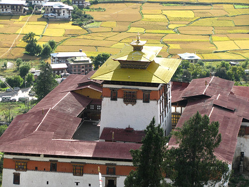
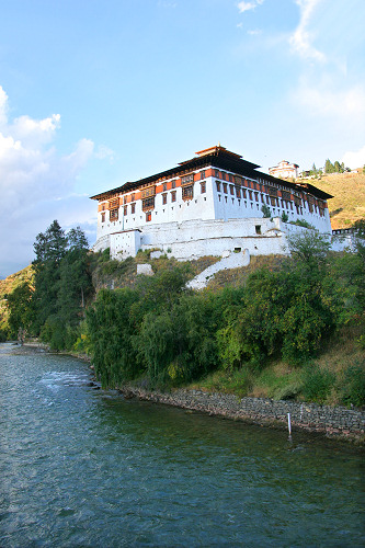 Paro Dzong (Rinpung Dzong) |
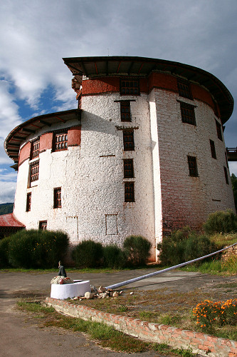 Ta Dzong |
|
Just above the Paro Dzong is
Ta Dzong,
originally the watch tower for the Paro Dzong, now a National Museum of Bhutanese culture and artefacts |
|
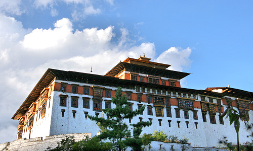
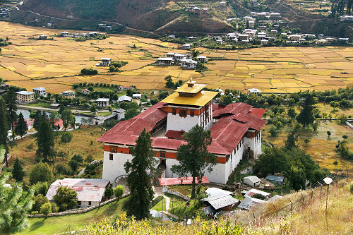 Closer views of the Paro Dzong , now the administrative centre of the district |
|
 |
|
 | |
 | |
 |
 |
|
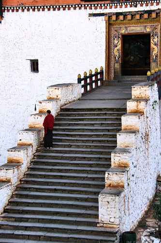
Steps lead up to the entrance to the museum (Ta Dzong/watchtower) - no photos
allowed inside! | |
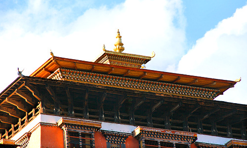
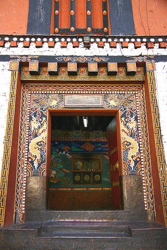
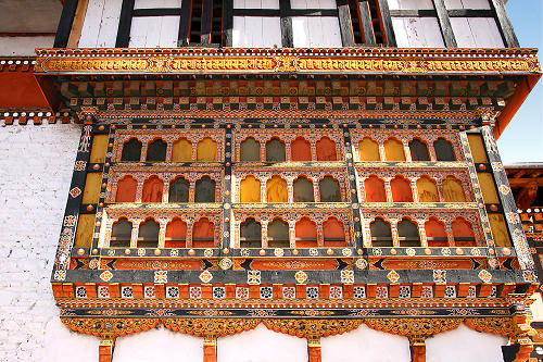
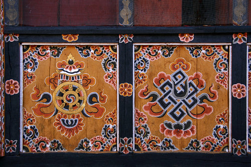
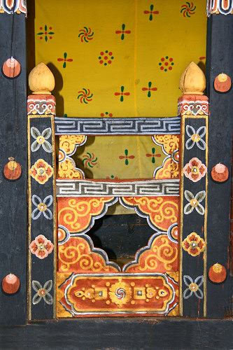
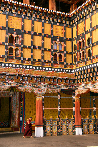
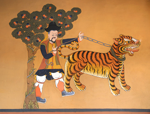
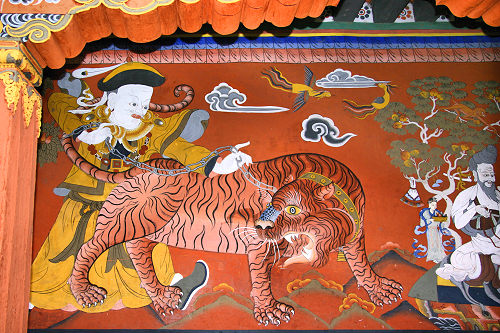
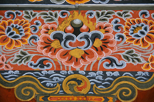
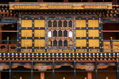 Details of Paro Dzong - and below | |
 | |
 | |
 |
 |
 | |
 | |
 | |
|
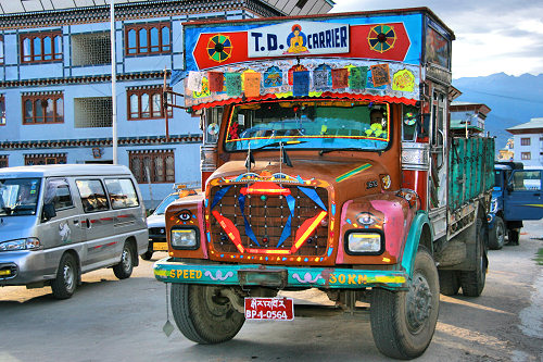
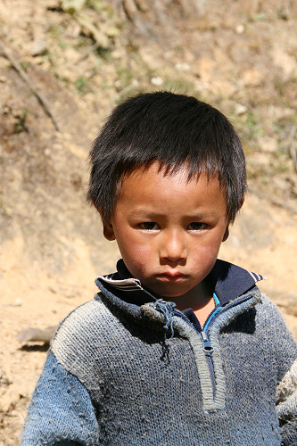
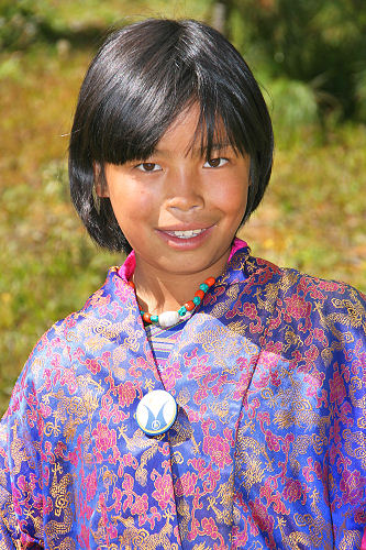
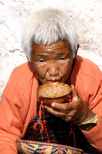
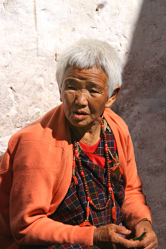
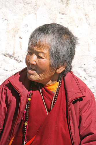
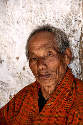
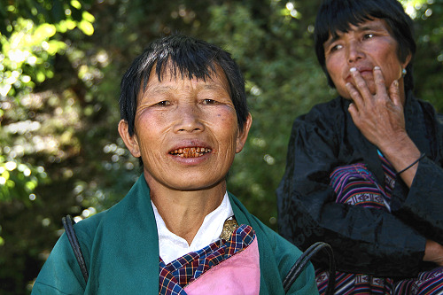
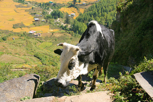
People around Paro | |
 |
 |
 |
 |
 |
 |
 | |
|
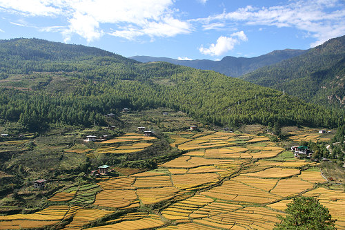
Views around Paro |
|
 |
|
 | |
 | |
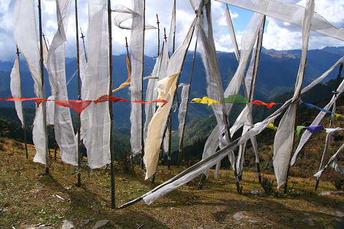
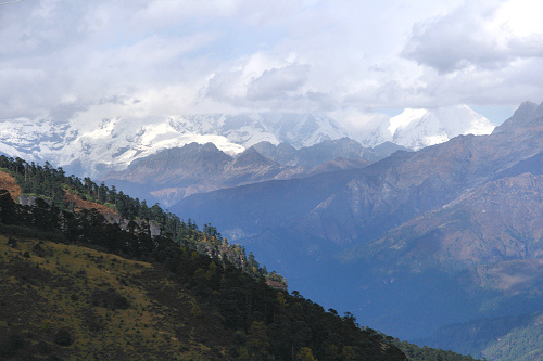 View from Chelela Pass (highest road pass in Bhutan at 3980 m) | |
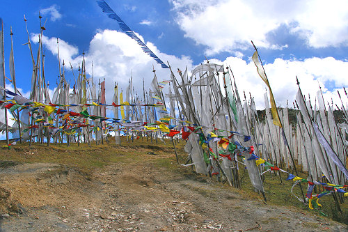 Prayer flags catch the strong winds on the pass | |
 |
|