From Wikipedia: The Franz Josef (Ka
Roimata o Hinehukatere in Māori) is a 12 km long glacier located
in Westland National Park on the West Coast of New Zealand's
South Island. Together with the Fox Glacier 20 km to the south,
it is unique in the fact that it descends from the Southern Alps
to less than 300 metres above sea level amidst the greenery and
lushness of a temperate rainforest. It is also one of only three
glaciers to come so close to a coastline. It terminates 19 km
from the Tasman Sea. Fed by a 20 square mile large snowfield at high
altitude, it exhibits a cyclic pattern of advance and retreat,
driven by differences between the volume of meltwater at the
foot of the glacier and volume of snowfall feeding the n�v�. Due
to strong snowfall it is one of the few glaciers in New Zealand
which is still growing as of 2007, while others, mostly on the
eastern side of the Southern Alps, have been shrinking heavily,
a process attributed to global warming. The area surrounding the
two glaciers is designated a World Heritage Site. The Waiho
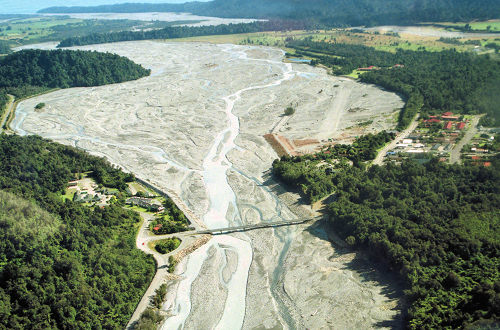
River emerges from the glacier terminal.
|
Living TRAVEL -
NEW ZEALAND |
|
 |
|
 |
|
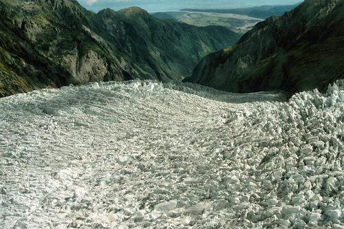
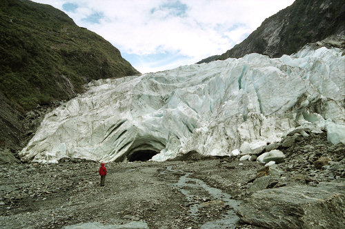
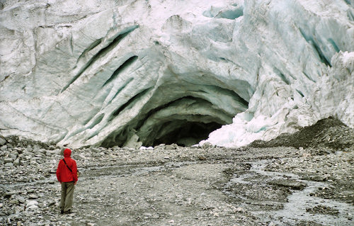
 The final stretch of the Franz Josef Glacier - and below |
|
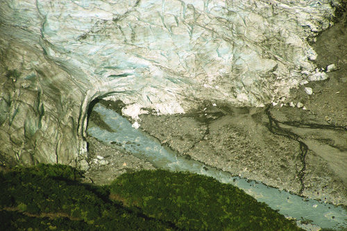 From above we can see the exiting melt water |
|
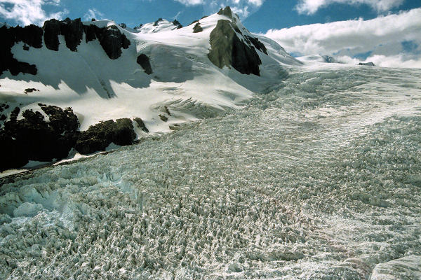
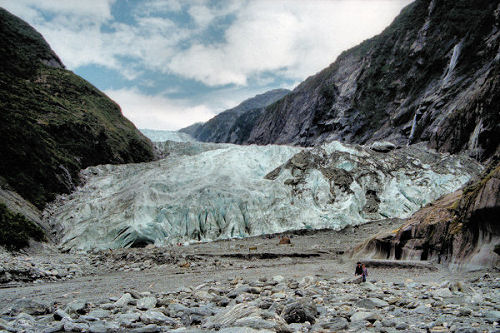 See the people (towards the right forefront) to get the scale |
|
 |
|
 |
|
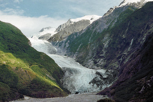
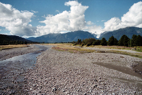 Looking back from the end of the glacial valley and beyond to the stream of melted ice heading towards the coast - and below |
|
 |
|
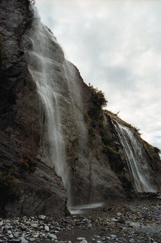 A pleasant waterfall in the glacial valley |
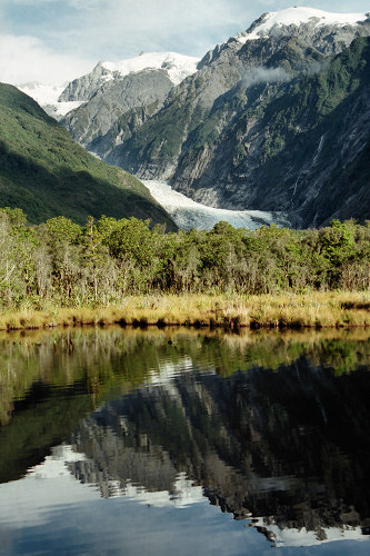 A view of the glacier from afar |